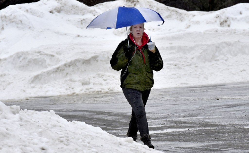
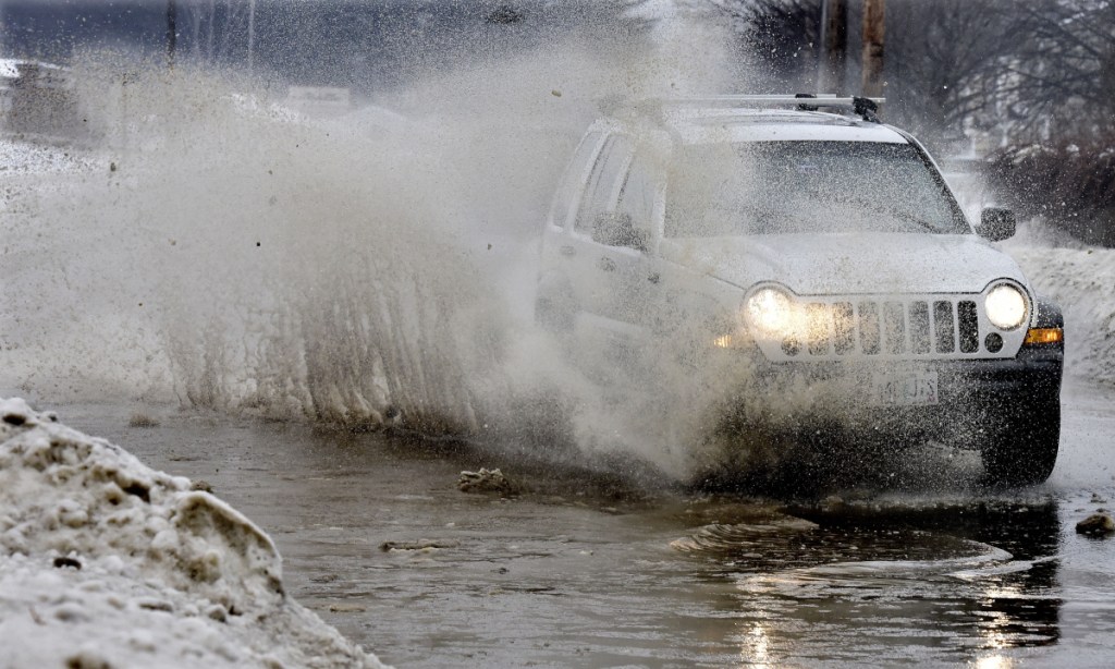
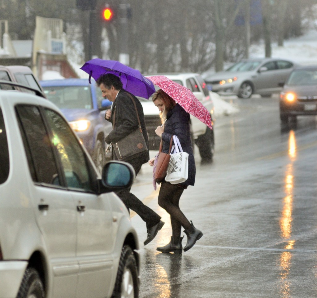
A brief thaw has brought warmer weather and rain to central Maine — and with them flooded basements, traffic accidents, slide-offs and road closures.
Heavy rain Thursday afternoon prompted the National Weather Service in Gray to issue an areal flood warning for Kennebec and Sagadahoc counties until 11 p.m. Thursday because of the potential for flooding in urban areas and areas of poor drainage.
The temperature started rising Wednesday evening in Kennebec County and settled in the 40s across much of the county Thursday.
Farther north, in Somerset County, the warm-up was much slower to develop; by midday Thursday, temperature across the county was still in the high 20s, and is wasn’t expected to reach the 40s until later in the day.
The rain, combined with melting snow, contributed to poor road conditions across the region.
Crashes and slide-offs were reported throughout the day as drivers encountered slick spots where rain came in contact with the much colder ground.
In Waterville, a driver lost control of her vehicle around 8:30 a.m. on the Messalonskee Stream Bridge, and the car struck abutments on both sides of the bridge and overturned. Melissa Ames, 49, of Newport, suffered minor cuts in the accident.

A Newport woman lost control of her Honda Civic on Thursday morning as she was traveling north on Interstate 95. The car struck abutments of the Messalonskee Stream bridge and fliped onto its roof. Rain had started to freeze on the bridge, according to Steve McCausland, the spokesman for the state Department of Public Safety.
In Winslow, water was backing up on Benton Avenue deep enough that people were reluctant to drive through it.
Sean Goodwin, director of the Kennebec County Emergency Management Agency, workers were clearing the roadway during the day.
Goodwin said water was ponding on some Kennebec County roads because in some places, the catch basins have been clogged with snow.
“We have had a few accidents based on road conditions,” Mike Smith, Somerset County Emergency Management director, said Thursday. “There were no serious injuries.”
Public works crews from around Franklin County were out Thursday trying to eliminate any problems caused by the rain, Tim Hardy, director of the Franklin County Emergency Management Agency, said Thursday afternoon.
“I am sure it is challenging,” Hardy said.
Some minor problems with water staying on the roads have been reported, said Kyle Ellis, a supervisor at the Franklin County Regional Communications Center in Farmington.
No major accidents were reported, just some vehicles sliding off roads and some minor property damage crashes in some areas, Ellis said.
Several vehicles slid off the road on Route 133 in Jay, but people either were able to get their vehicles out by themselves or have someone pull them out, Jay police reported Thursday morning.
By late afternoon, flooding prompted road closures across the area, including on Middle Street in Hallowell, where traffic was rerouted during the evening.
Isolated power outages were reported throughout the region during the day.
The National Weather Service had issued a weather advisory about freezing rain Thursday but allowed it to expire at 11 a.m.
“The big thing in Somerset County through the rest of the day (Thursday) could be pockets of freezing rain,” said William Watson, a meteorologist at the National Weather Service in Gray. “There are probably surfaces where you’ll get rain freezing on contact. That’s the main concern for right now.”
Across Kennebec County, an inch to an inch and a half of rain was expected to fall, with lesser amounts expected in Somerset County, before ending Thursday night.
Watson said overnight Thursday, the temperature is expected to drop into the 20s in Kennebec County and into the teens in Somerset County.
“We could see some slick spots on surfaces that are wet and haven’t had a chance to dry,” he said.
A weather front moving through the region will bring with it more seasonal temperature Friday and Saturday, with a chance of snow showers from Saturday night to Sunday night in the Augusta area and a greater chance of snow showers in Somerset County, Watson said.
While meteorologists are not concerned about flooding, Smith said he’s received a couple of reports of ice starting to jam, and he will monitor flood-prone and problem spots.
“Two or three years ago, we had some issues on Madison Street in North Anson,” he said. “The (Kennebec) river bends where the Carrabasset comes in and the ice backs up into a field on U.S. Route 201A. And we have a couple of spots on the River Road in Madison that are prone to flood.”
With the rain ending overnight Thursday, Smith said crews should have the chance to treat road surfaces before drivers head out in the morning.
Goodwin said the Kennebec River might rise a bit, but no drastic action is expected. While some snow is melting in the warmer weather, the snow pack is also absorbing some rain and holding it in place.
“I don’t know if the ice is good enough to cause a jam,” he said. “We had a big clear-out here a few days ago.”
Jessica Lowell — 621-5632
Twitter: @JLowellKJ
Send questions/comments to the editors.


